
![Genelkurmay Matbaası - This group of maps includes the 5 fold-out maps from the text <span style="font-style: italic;">Doğu Anadolu coğrafyası : tabiı̂, ziraı̂, beserı, baytarı̂. </span>[Eastern Anatolia Geography]. The related text can be found in <a href="http://library.mit.edu/item/002221296">Rotch Library's Limited Access Collection</a>.<div><span style="font-style: italic;"><br></span></div><div><span style="font-size: 14.44444465637207px; line-height: 16px;">You can view the maps by clicking on a map name in the "Associated Documents" section above.</span><span style="font-style: italic;"><br></span></div>](https://admin.archnet.org/rails/active_storage/blobs/redirect/eyJfcmFpbHMiOnsibWVzc2FnZSI6IkJBaHBBb3N5IiwiZXhwIjpudWxsLCJwdXIiOiJibG9iX2lkIn19--d8a1121e2d7b5caa3160ed0bd75cc8cd83cc20c2/DTP102140.jpg)
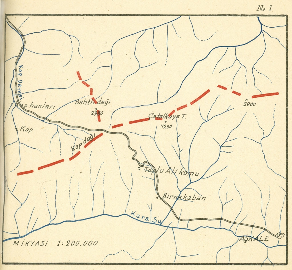
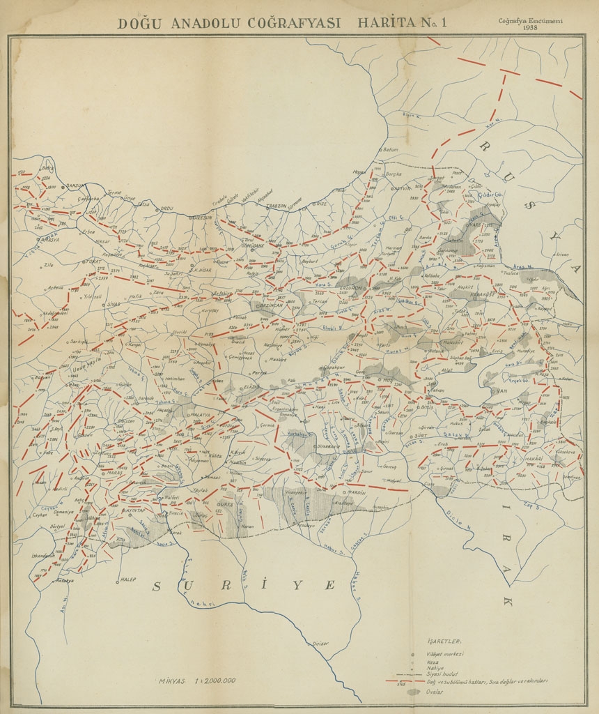
Map No. 1 from "Doğu Anadolu coğrafyası : tabiı̂, ziraı̂, beserı, baytarı̂"
Maps from "Doğu Anadolu coğrafyası : tabiı̂, ziraı̂, beserı, baytarı̂"
Type
map
Year
1938
Citation
Child Publications
Authorities
Collections
.jpg)
Country
Language
Keywords
Maps from "Doğu Anadolu coğrafyası : tabiı̂, ziraı̂, beserı, baytarı̂"
Type
map
Year
1938
Citation
Child Publications
Map No. 1 from "Doğu Anadolu coğrafyası : tabiı̂, ziraı̂, beserı, baytarı̂"
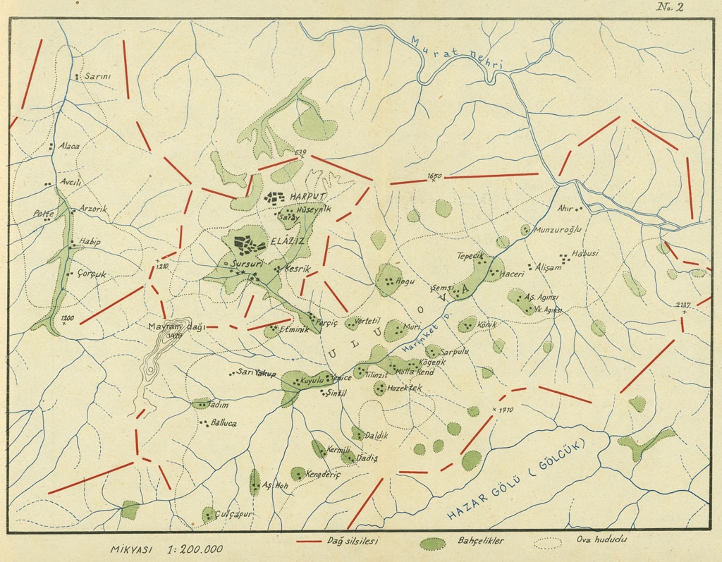
Map No. 2 from "Doğu Anadolu coğrafyası : tabiı̂, ziraı̂, beserı, baytarı̂"
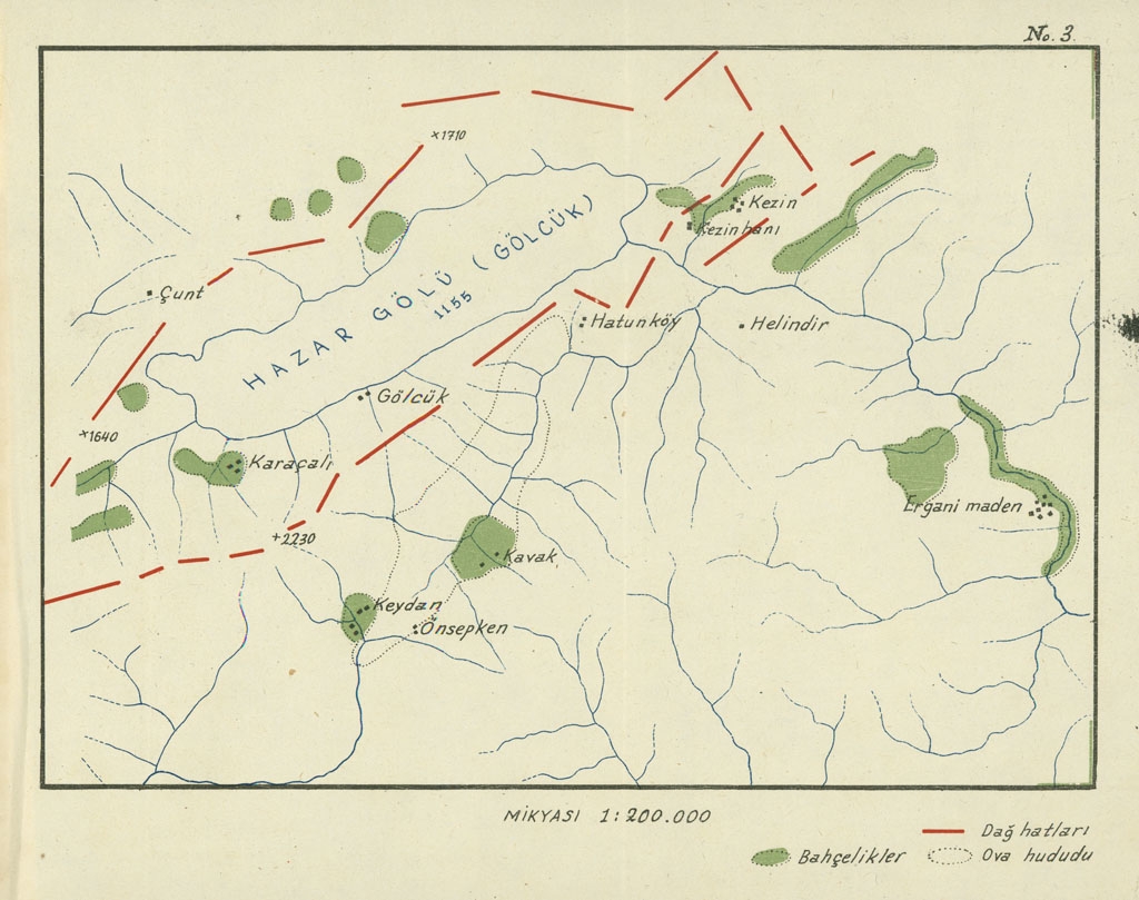
Map No. 3 from "Doğu Anadolu coğrafyası : tabiı̂, ziraı̂, beserı, baytarı̂"
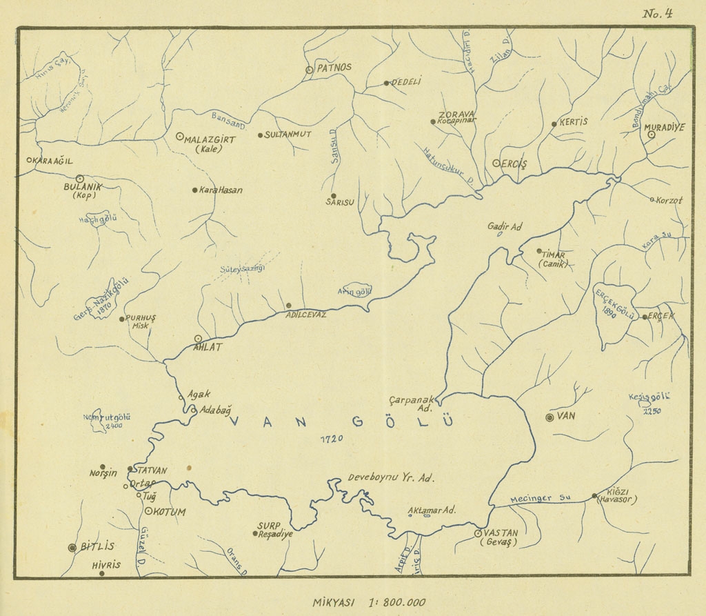
Map No. 4 from "Doğu Anadolu coğrafyası : tabiı̂, ziraı̂, beserı, baytarı̂"
Doğu Anadolu Coğrafyası Harita No. 1
Authorities
Collections
Country
Language
Keywords